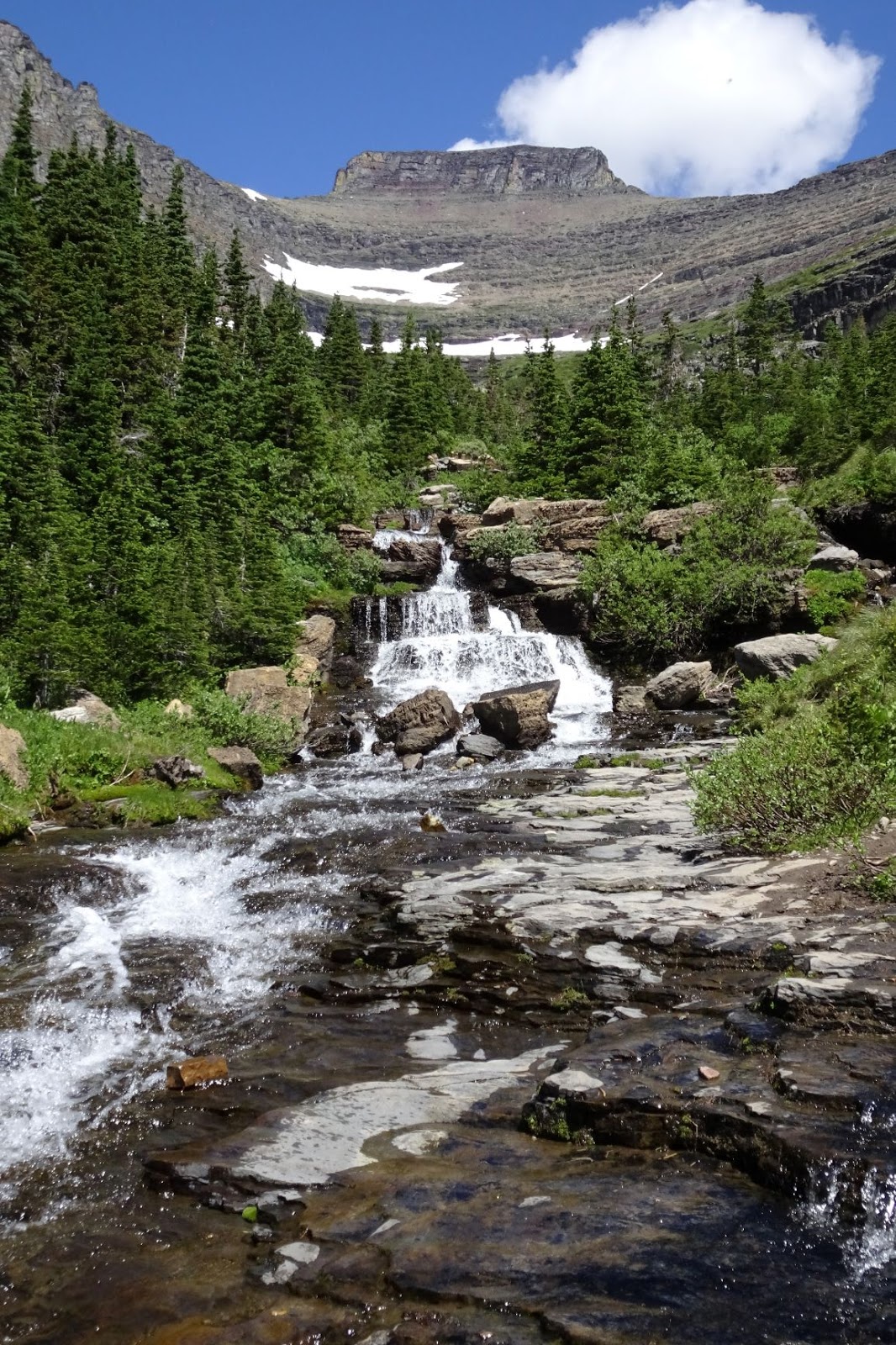
We had a Bible quiz tournament in Three Hills, Alberta. We spent 4 nights in Linden & then headed north to Hinton. Lodging was so expensive in Banff & Jasper so we stayed outside the towns.
Calgary
Linden - 4 nights
Hinton – 2 nights
Golden – 2 nights
Cardston – 2 nights
Calgary
Drumheller – Horsethief Canyon,
Horseshoe Canyon, Hoodoos, World’s Largest Dinosaur, Dinosaur Museum
3 Hills – Dry Island
Buffalo Jump Provincial Park
Hinton – We only did the
disc golf
Beaver Boardwalk 3 km
William Switzer Provincial Park –
Kelley’s Bathtub
Solomon Lookout - Brule
Mount Robson
Rearguard Falls - short
Overlander Falls - short
Conifer Creek Falls – roadside
Jasper
Maligne Lake – pretty drive back
to the Lake
Medicine Lake
Maligne Canyon – waterfall (Closed
when we were there)
Pyramid Lake – Pyramid Island
Valley of 5 Lakes – 2.8 mi hike
(we didn’t do)
Icefield Parkway – connects
Banff & Jasper – 3 ½ hour each way
- Athabasca
Falls – .8 km out-and-back hiking trail to the waterfall is easy
- Goat
& Glacier –There is a small lot with a short path that takes you
to the lookout
- Sunwapta
Falls - The upper falls are a short walk from the parking lot, making
this an easy add-on stop leading to an extraordinary waterfall. There is a
one-mile trail leading to the lower falls, however, the upper falls are
far more dramatic.
· Stutfield
Glacier - viewpoint
· Tangle
Creek Falls
· Toe
of the Glacier - dirt parking area for the Toe of the Athabasca Glacier
hike directly across from the Discovery Centre less than 1 mile (RR at Centre)
·
Parker Ridge – 2.5 km hike
·
Big Ben, Weeping Walls – Pull offs
·
Saskatchewan River – viewpoint right
after junction with HWY 11
- Mistaya
Canyon short 0.3-mile trail from the Mistaya Canyon parking lot.
- Waterfowl
Lakes – viewpoint from parking lot – great reflection
- Peyto Lake - Peyto Lake Upper Viewpoint paved,
0.4-mile path leading you to the main viewpoint from the parking lot. continue
0.3 miles to the southern viewpoint.
- Bow Lake - If the parking lot closest to the
highway is full, just head further up the road. There is a big parking lot
at Simpson’s Num-Ti-Jah Lodge, and it affords you a completely different
view of the lake. The lot also has several pit toilets and garbage cans.
·
Crow Foot glacier - viewpoint
- Herbert Lake – view from parking
Yoho NP
Emerald Lake
Natural Bridge
Wapta Falls (don’t use google
address)– 3 miles, fairly easy (we didn’t do)
Takakkow Falls – high, short walk
(10 min) 13 km off main road
Kootenoy NP – we didn’t go
Marble Canyon – easy 1.6 km – can
be combined with Paint Pots -2 km
Numa Falls – 300 meters
Banff
Johnston Canyon – get there
early. Lot nearly full at 10 am on a
summer weekday. 1.5 mi each way. Past
lower falls 1.5 km on an uphill trail until you arrive at two viewpoints for
Upper Falls. hiking about 3 km further to Ink Pots. Ink Pots are five
blue-green bubbling pools that are cold mineral pools.
Tunnel Mountain – hoodoo
viewpoints near campground
Castle Mountain viewpoint – trans
Canada highway
Bow Falls - closer to downtown
Surprise Corner view - hotel
Lake Louise – tea house
hike 4 miles. We did a shorter hike to
an overlook of the lodge & lake. We
booked the Canada Parks shuttle on the day it opened in April. Need to be in the queue 30 min before it
opens.
Morraine Lake – Shuttle
early, top of rock pile best view – go there first, valley of 10 peaks
Bow Valley Parkway –
wildlife, Morant’s Curve
Lake Minnewanka – can take
a shuttle
Cascade Ponds (great views),
Vermilion (great views), 2 Jack Lake - morning
Sign – by train station
Cascade Falls
Mount Norquay Lookout – chair lift
cheaper than gondola
Waterton
Waterton Lake
Drive the Red Rock Parkway and
explore Red Rock Canyon on foot - It’s an easy 0.7 km loop trail.
Blakiston Falls trail to
the overlook for 1.5 mi RT
Bear’s Hump: A short hike
with sweeping views over the townsite and Upper Waterton Lake 1.8 mi
round trip (we didn’t do)
Cameron Falls: An easy
drive to waterfall stop in the townsite
Berta Falls, Lower Falls –
3 mi RT
Head out of Waterton to the Bison
Paddock
Glacier
Lake Sherburne
Grinnell Lake Trail – this is a
fairly easy 7.1 mile loop. The elevation gain is around 350 feet.
Alternatively, you can take a boat
tour that departs from the Many Glacier Hotel and crosses Swiftcurrent Lake and
Lake Josephine. Once on the opposite shore of the lake, walk for 1.1 miles to
Grinnell Lake.
start your hike on Swiftcurrent
Lake Nature Trail, which goes for 0.8 miles on the side of Swiftcurrent Lake,
and right from the start, you will be in awe of the stunning views! Next, for
about 1.3 miles the trail meanders along Lake Josephine. And, the
views at this section of the trail are stunning! At 2.1 miles from the
trailhead, you will get to the end of Lake Josephine and this is where you will
start climbing. As you gain elevation, the views of both Swiftcurrent Lake and
Lake Josephine will get better.
Swiftcurrent Falls
Fishercap Lake for moose –
park at Swiftcurrent Motor Inn & .3 mi hike to the lake
Red Rock Falls- Bullhead Lake
trail
Apikuni Falls is a perfect
hike to end the day in the Many Glacier region 1.6 mi rt. The 100-foot
waterfall is located 1 mile away from the Apikuni parking area, east of the
Many Glacier Hotel.
2 Medicine Lake
Aster Falls – 2.4 mi rt
little hike to Running Eagle Falls 0.6 mi


 Apikuni
Falls 1.6 mi rt. The
100-foot waterfall is located 1 mile away from the Apikuni parking area
Apikuni
Falls 1.6 mi rt. The
100-foot waterfall is located 1 mile away from the Apikuni parking area


 Roadside - near the lodge
 along the road
 Fishercap Lake for moose –
park at Swiftcurrent Motor Inn & .3 mi hike to the lake. So excited to see 2 moose.
Fishercap Lake for moose –
park at Swiftcurrent Motor Inn & .3 mi hike to the lake. So excited to see 2 moose.


 Definitely smoky along the Going to the Sun road

 Lunchcreek Falls

 I think this was the highlight for all of us


 Logan Pass